[
]

Delhi:
Forecasted to be the worst hurricane Florida is set to witness in a century, Milton is likely to bring a water surge of up to 15 feet to the Tampa Bay area after landfall, according to local media reports.
The storm is expected to reach Florida’s Gulf coast by late Wednesday or early Thursday, but the location of the landfall site is yet to be ascertained. Apart from a storm surge, Hurricane Milton is expected to bring widespread wind damage, flooding, rainfall and tornadoes to the state. As of 4 am CDT (2.30 pm IST), Hurricane Milton was a Category 5 hurricane with maximum sustained winds close to 160 mph. The storm is in the Gulf of Mexico moving northeast towards Florida at around 14 mph.
Fort Myers, Orlando, Cape Canaveral and Daytona Beach too are forecasted to witness a storm surge.
As the second huge hurricane in as many weeks rumbled toward Florida’s west coast, US President Joe Biden said from the White House, urging those under orders to leave to “evacuate now, now, now.” In a scene of frantic preparation repeated all over Florida, dozens of cars lined up at a sports facility in Tampa to pick up sandbags to protect their homes from flooding.
Timelapse flying by Hurricane Milton about 2 hours ago.
1/6400 sec exposure, 14mm, ISO 500, 0.5 sec interval, 30fps pic.twitter.com/p5wBlC95mx
— Matthew Dominick (@dominickmatthew) October 8, 2024
The National Oceanic and Atmospheric Administration on Tuesday released footage from a specialist plane called “Miss Piggy” as it flew into the hurricane to collect data. Paperwork, equipment and personal items were sent flying as the plane was shaken by wind and rain.
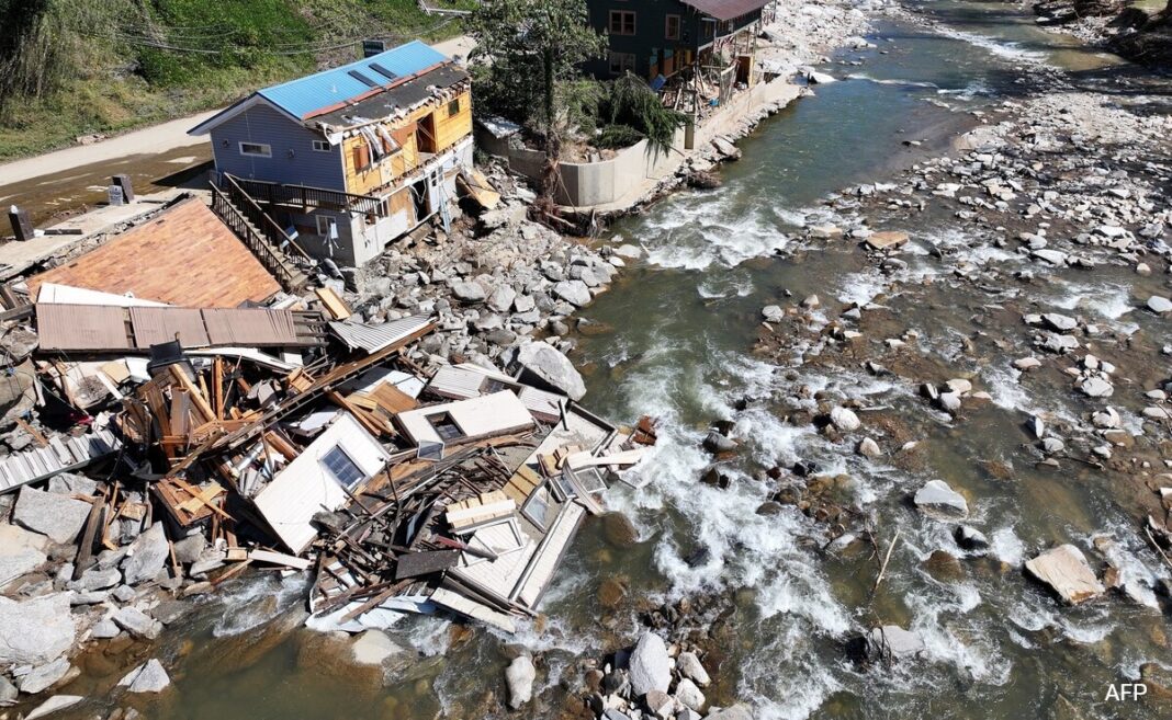
It hit the Florida coastline on September 26 as a major Category 4 hurricane, causing massive flooding in remote inland towns in states further north, including North Carolina and Tennessee. Helene was the deadliest natural disaster to hit the US mainland since 2005’s Hurricane Katrina, with the death count still rising.
Hurricane Katrina, which reached Category 5 intensity but made landfall in Louisiana in 2005 as a Category 3 storm, produced a record 27.8-foot storm surge. In 2008, Hurricane Ike pummeled the Texas Gulf Coast as a Category 2 storm and generated a 15-foot storm surge in Galveston Island.
Scientists say global warming has a role in intense storms as warmer ocean surfaces release more water vapor, providing additional energy for storms, which exacerbates their winds.


